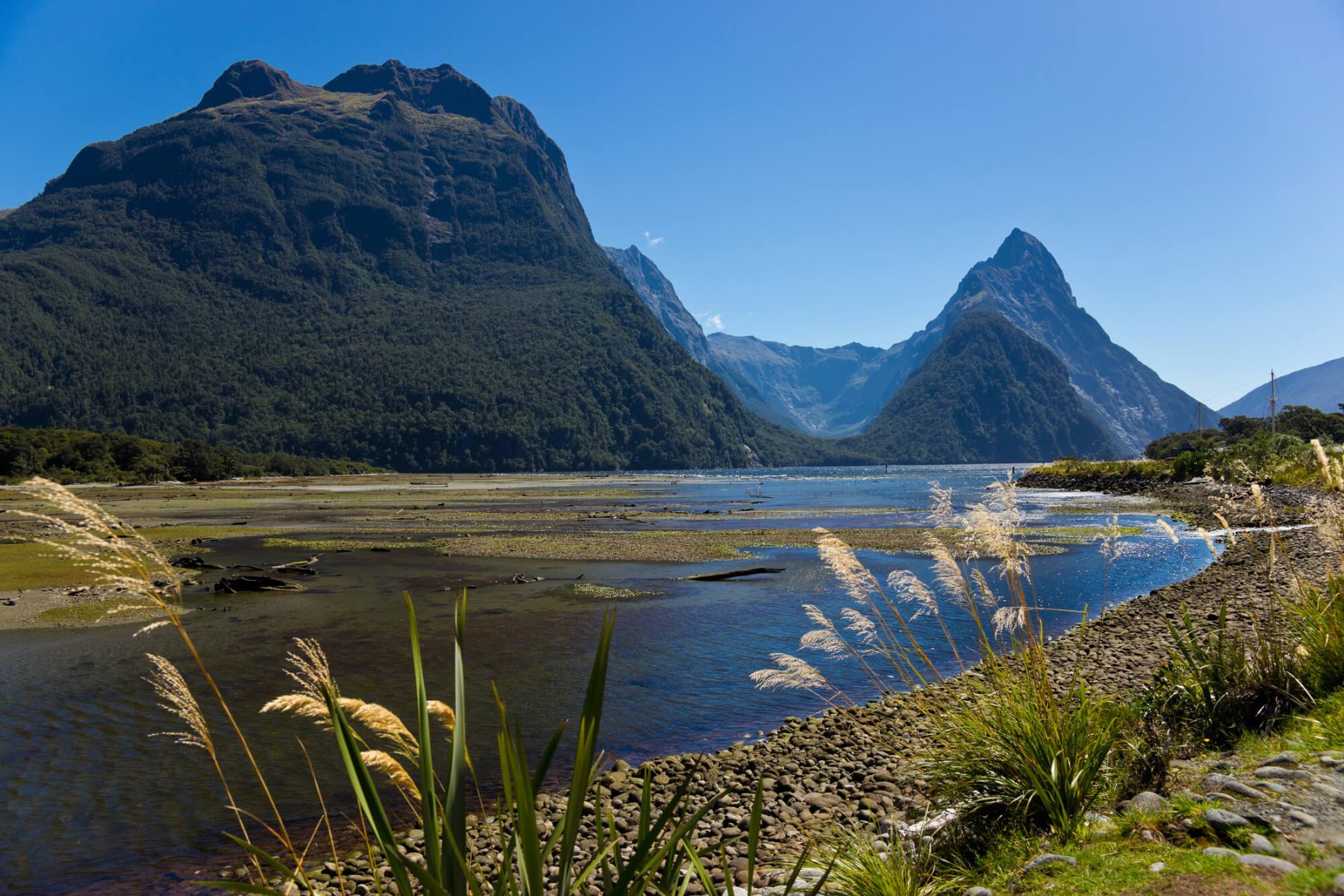
Your Guide to the Great Walks of New Zealand
New Zealand is in the lucky position of being one of the most aesthetically beautiful countries in the world. With a unique set of natural conditions coming together to create mountains, waterfalls, fiords, beaches, and rainforests, you’d be hard pressed to find somewhere more varied.
New Zealand is home to the ‘Great Walks’, encompassing a wide range of flora, fauna, natural features, and cultural sites. Here, we will talk you through these walks and why they have become so iconic.
What are the 10 Great Walks of New Zealand?
New Zealand has classified 10 Great Walks that cover many areas of natural beauty. With the tenth added in 2019, the Great Walks are:
- Tongariro Northern Circuit
- Whanganui Journey
- Lake Waikaremoana Track
- Abel Tasman Coast Track
- Heaphy Track
- Paparoa Track
- Kepler Track
- Routeburn Track
- Milford Track
- Rakiura Track
They vary in length and difficulty, but they share common ground in that they showcase New Zealand’s glorious scenery. Also, the Whanganui Journey is not actually a walk, but a paddle down the river. You can see details of each route in our route summary guide.
How difficult is the Milford Track?
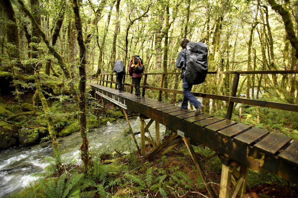
The Milford Track is the most famous of the Great Walks of New Zealand and has been a thrilling and beautiful destination for hikers for over 150 years. It can be completed in four days by most people with an average level of fitness. There are plentiful beauty spots over the 53kms, including Sutherland Falls, which is the tallest waterfall in New Zealand.
Alpine scenery and glacier-carved fiords make up the landscape of this track, with much of it snaking along the rivers on the valley floor. The steeper sections ascend from the valley floor to peaks like Mackinnon Pass, Harris Saddle, and Ocean Peak Corner, which might be a bit tougher for inexperienced hikers but the reward of some of the most breathtaking views on the planet make it well worth the effort.
How long does it take to walk the Tongariro Northern Circuit?
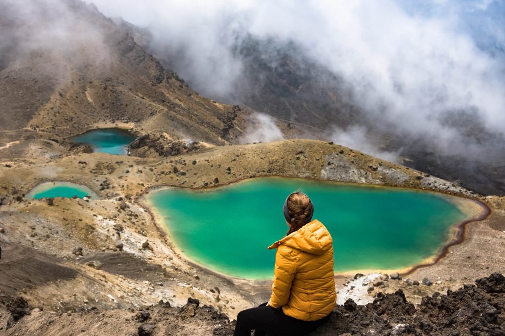
The Tongariro Northern Circuit takes you through the volcanic heart of the national park, with a landscape of volcanoes, tussock grass and emerald crater lakes. It is a lengthy walk, as all Great Walks are, with a 3-4 day trek time. Very fit and experienced hikers may be able to complete the journey in 2 days, but be wary that each of those days will encompass 8 hours of walking.
Along the way, you will be able to take in some truly magical views. With Mount Tongariro and Mount Ngauruhoe imposing upon the landscape, it is easy to see why these two peaks are famous in Maori culture. You will also have sweeping views across the North Island, with panoramic views of Lake Taupo towards the north and on a bright day you could also see Mount Taranaki on the western coast.
The flora includes beautifully alpine flowers, thick bushes of tussocks and thick beech forests. In terms of fauna, the Northern Circuit takes you through the homeland of many of New Zealand’s native birds, like bellbirds and fantails.
How long does it take to walk the Abel Tasman track?
Traversing the whole track will take between 3-5 days. Named after the first European to ‘discover’ New Zealand, the Abel Tasman Coastal Track snakes its way around some of the country’s most breathtaking coastal scenery at the north of South Island. With 60km of track working its way through the Abel Tasman National Park, the walk itself can be split up into five main sections: Marahau to Anchorage Bay, Anchorage Bay to Bark Bay, Bark Bay to Awaroa Inlet, Awaroa Inlet to Whariwharangi Bay, and Whariwharangi Bay to Wainui Bay.
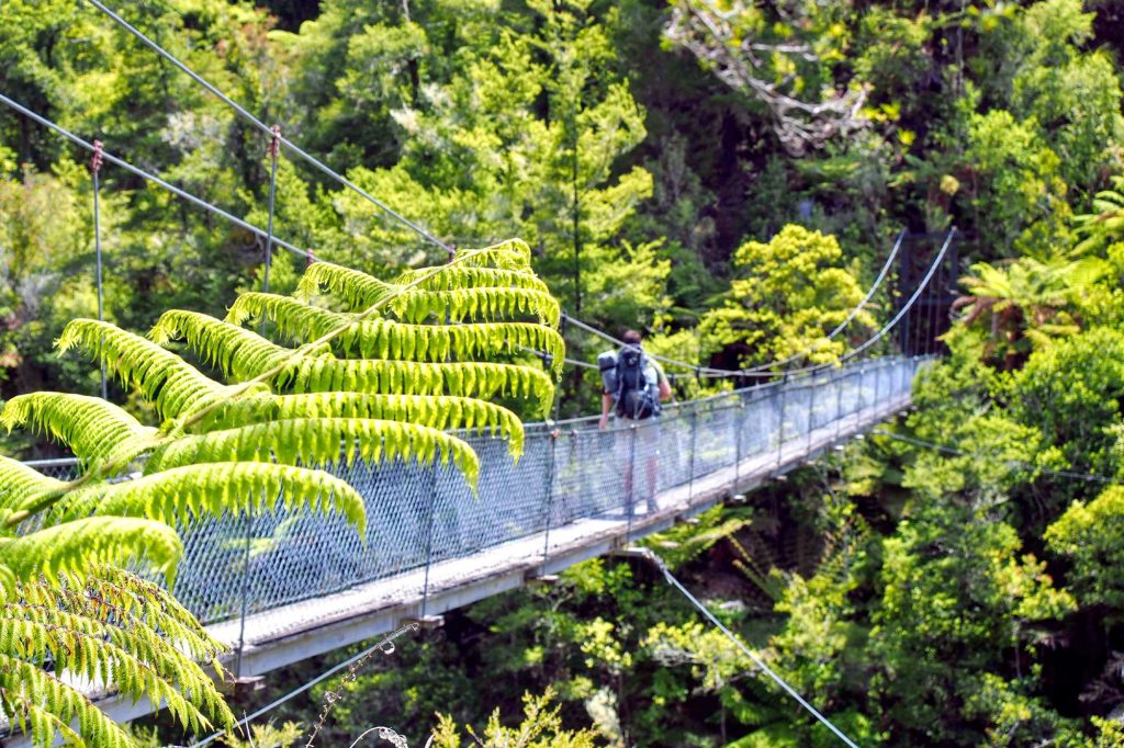
Along the way, you can enjoy golden beaches and tranquil inlets, a mild climate complete with arresting sea breezes, and of course, the chance to spot some marine life including fur seals. You can cross the Torrent Bay estuary over a 47-metre long suspension bridge that allows you to traverse across Falls River then through a lush coastal forest before coming out onto the soft sands of Bark Bay. There are so many wonderful things to see along this epic walk that you will want to explore every path.
What can you do at Abel Tasman National Park?
Abel Tasman National Park is not just the destination for the Abel Tasman track, it is also a wonderful place to explore. There are numerous outdoor activities to take part in, from kayaking the hidden coves to cruising or sailing the coastline. You can also take in New Zealand’s flora and fauna on a trip to Tonga Island where you’ll be able to snorkel in the crystal waters and watch playful seals enjoy the sunshine.
How long is the Heaphy Track?
The Heaphy Track is a 78km walk that takes between 4-6 days to complete. The walk is broken down into the journeys between huts, which are bush cabins that are maintained by the Department of Conservation and have basic facilities. They need to be booked in advance if you wish to stay, as is applicable to all the huts along the Great Walks. The history of the area is rooted in Maori living, with the indigenous people settling along the Heaphy River in the 16th century.
How difficult is the Heaphy Track?
It is well known for being incredibly varied in terms of its landscape – one section may have wide moors of tussocks, whereas the next may be covered in thick beech forest. In spite of these numerous landscapes, however, the Heaphy Track can be taken on by people with relatively good levels of fitness and experience. It is classified as Intermediate. The first three days follow flat ground, whereas day four will include some small climbs. It is doable for the majority, however, if you are prepared to take on the lengthy distances.
There are some incredible pay-offs when it comes to views. Nikau palms grow along the river, giving it an almost prehistoric and untouched feel, and the highest point of the track, reaching 915m, offers lovely views across neighbouring mountains and out to the Tasman Sea.
How far is the Routeburn Track?
Running through Fiordland National Park, the Routeburn Track is a 32km walk that takes between 2-4 days. It is a spectacularly scenic walk with epic peaks, enormous valleys, pretty waterfalls, and glittering blue lakes.
Connecting Fiordland National Park and Mount Aspiring National Park, the Routeburn Track is one of the most incredible in terms of scenery, with its highest point being 1,255m above sea level offering panoramic views across the deep valleys and endless fiords.
How long does it take to walk the Kepler Track?
The Kepler Track is a 3-4 day journey traversing stunning alpine vistas along a 60km loop through Fiordland National Park. It is a relatively challenging hike with some steep climbs and descents, and a ridgeline that can leave hikers exposed to the elements.
There are some amazing spots to explore along the track, including the otherworldly Luxmore Caves (a short walk from Luxmore Hut), which take you underground. You can climb to the summit of Mount Luxmore to see the Murchison Mountains and Lake Te Anau. There are also opportunities to fish for brown and rainbow trout in the main Waiau River and Forest Burn.
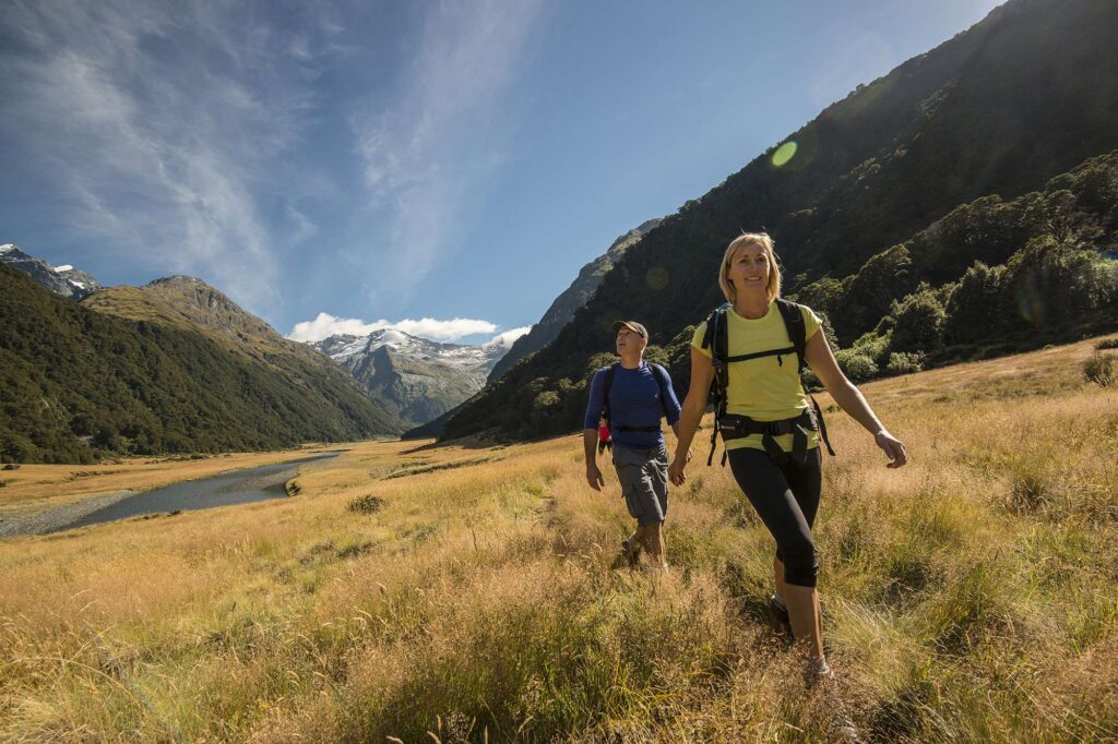
Ready to take on New Zealand’s Great Walks? Discover our range of New Zealand holidays or call our Travel Specialists today on 01737 214 250 to learn more.


 Instagram
 Facebook
 YouTube