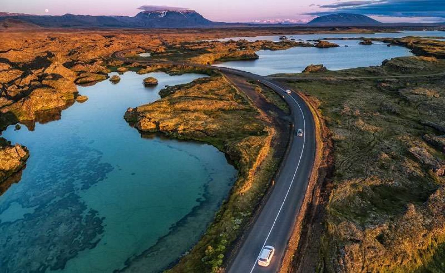
You’ve probably heard of the Golden Circle – the famous trio of natural wonders in south west Iceland – but the Land of Fire and Ice now has a new jewel in its crown. Head north to tour the equally spectacular (but less visited) Diamond Circle and you’ll discover 250km of glittering wilderness.
Diamonds come in two forms: neatly cut and polished, or rough and untouched. North Iceland’s Diamond Circle is definitely the latter. Rounding up everything from legendary canyons and volcanic craters to humpback whales, a pristine freshwater lake and Europe’s most powerful waterfall, it links five major highlights – Goðafoss, Lake Mývatn, Dettifoss, Ásbyrgi and Húsavík.
The concentration of natural wonders on the Diamond Circle is mind-blowing. Imagine driving from Central London to Southampton and back (also around 250km) and stopping along the way to gaze at hissing fumaroles and bubbling mud pits, spot whales, dolphins and gannets, hike through lava flows and feel the spray from colossal waterfalls misting your face… Drive the Diamond Circle and you can do all this. And what’s more, it’s almost all free to enjoy. Apart from booking a whale-watching boat trip at Húsavík, all you need to do is hop in your hire car and drive, joining the dots between one easily accessible highlight and the next.
Getting to the Diamond Circle
There are three main ways to reach the Diamond Circle. You can fly from Reykjavík City Airport to Akureyri (just 30km from the western edge of the circuit), pick up a rental car, tour the Diamond Circle and then either fly or drive back. Around 140km east of the Diamond Circle, Egilsstaðir is another access point, easily reached by flights from Reykjavík. Again, you could fly one way and drive the other. If you have time (ideally two to three weeks or more), it’s also straightforward to incorporate the Diamond Circle on a longer self-drive circumnavigating Iceland on the Ring Road.
Highlights of the Diamond Circle
It doesn’t matter whether you tour the Diamond Circle in a clockwise or anticlockwise direction. The following highlights appear on an itinerary starting in Akureyri, driving anticlockwise around the circuit. Most roads are surfaced and well maintained – you don’t need 4WD. The best time to drive the Diamond Circle is April-September to coincide with the whale watching season at Húsavík.
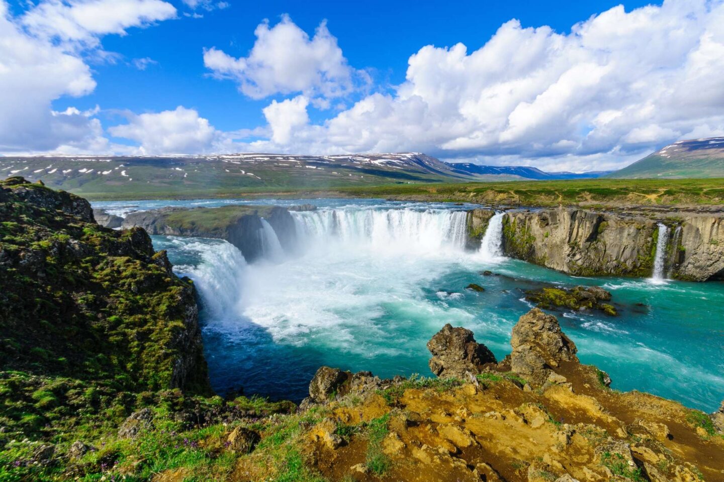
Goðafoss Iceland’s ‘Waterfall of the Gods’
is like a mini-Niagara – two elegant cascades pouring 12m over a horseshoe-shaped cliff. Located just off the road between Akureyri and Lake Mývatn, the waterfall owes its name to lawspeaker Þorgeir Ljósvetningagoði who, having embraced Christianity in the year 1000, cast his statues of Norse gods into the seething waters.
Lake Mývatn
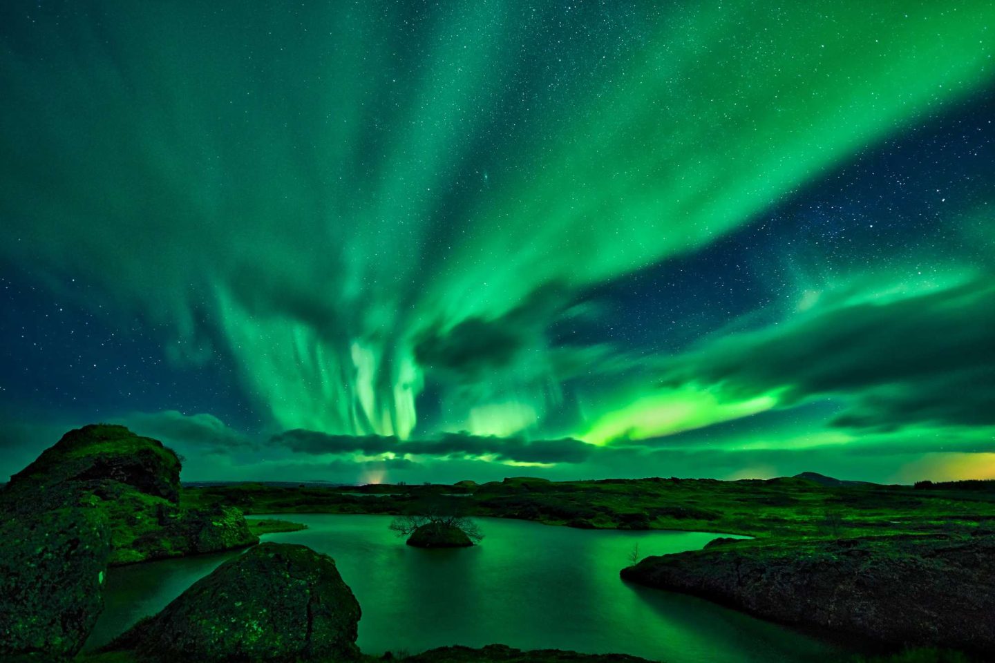
Bustling with bird life during summer (including some 25,000 ducks from 14 species), Iceland’s fourth largest lake holds centre-stage in a volcanic landscape of black lava fields, twisted basalt spires, pockmarked pseudocraters and steaming fumaroles. A smaller loop within the Diamond Circle, the lake has its own ring road – easily toured in a day. Many visitors make a bee-line for Hverfjall, a squat, kilometre-wide explosion crater with a rough path stamped in its flank of loose rock. The scramble to the rim at 312m provides a dramatic view of Lake Mývatn, glinting from its austere surroundings. Next stop along the ring road, Dimmuborgir (or Dark Cities) is a bizarre maze of tortured basalt, sculptured into spires, caves, arches and a disconcerting number of trolls. Continuing around the lake, you’ll encounter the Skútustaðagígar pseudocraters – mini-volcanoes created by steam exploding from water trapped beneath lava. Less well-known highlights at Mývatn include the turquoise geothermal pool known as Grjótagjá. It’s too hot for bathing, but the nearby Mývatn Nature Baths has the same soothing, pearlescent water found at the Blue Lagoon – with the added bonus of stunning views across the lake and less crowds.
Hverir
Driving from Lake Mývatn, a road scales the Námaskarð pass before descending to the Námafjall geothermal field. Also known as Hverir, this is one of Iceland’s best-known hotspots. Sulphuric acid reactions, iron oxidation and all kinds of chemical nastiness have conspired to paint the flank of Námafjall mountain a rich palette of ochres and reds, daubed with the occasional purple blotch of a suppurating mud pit. You could spend hours wandering from one belching, bewitching pool to another.
Krafla
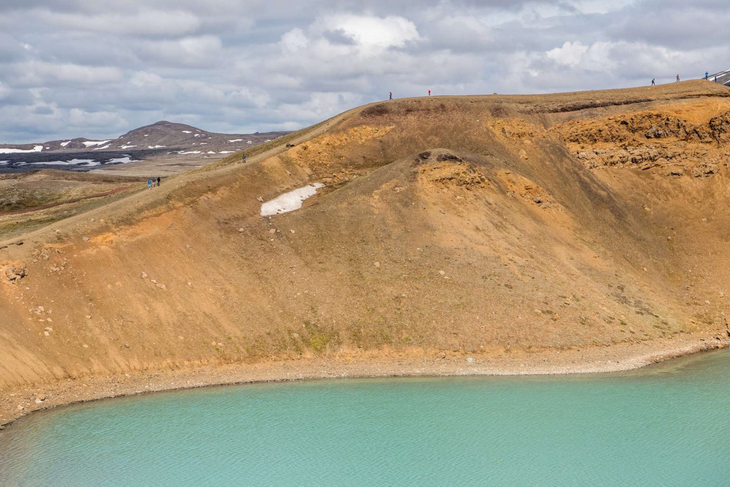
A short drive east from Hverir, you reach the otherworldly volcanic fields of Krafla. The most recent eruptions in the Lake Mývatn area occurred here between 1975 and 1984. Following a trail from the car park, you pass a spattering of flatulent mud pools before scaling the edge of an immense lava flow. Looking north, there is nothing but black basalt – a dark stain as forbidding as the shadow of a thundercloud. Don’t miss Víti – an impressive explosion crater, about 300m wide, that was formed during a massive eruption at the start of the famous Mývatn Fires in 1724.
Dettifoss
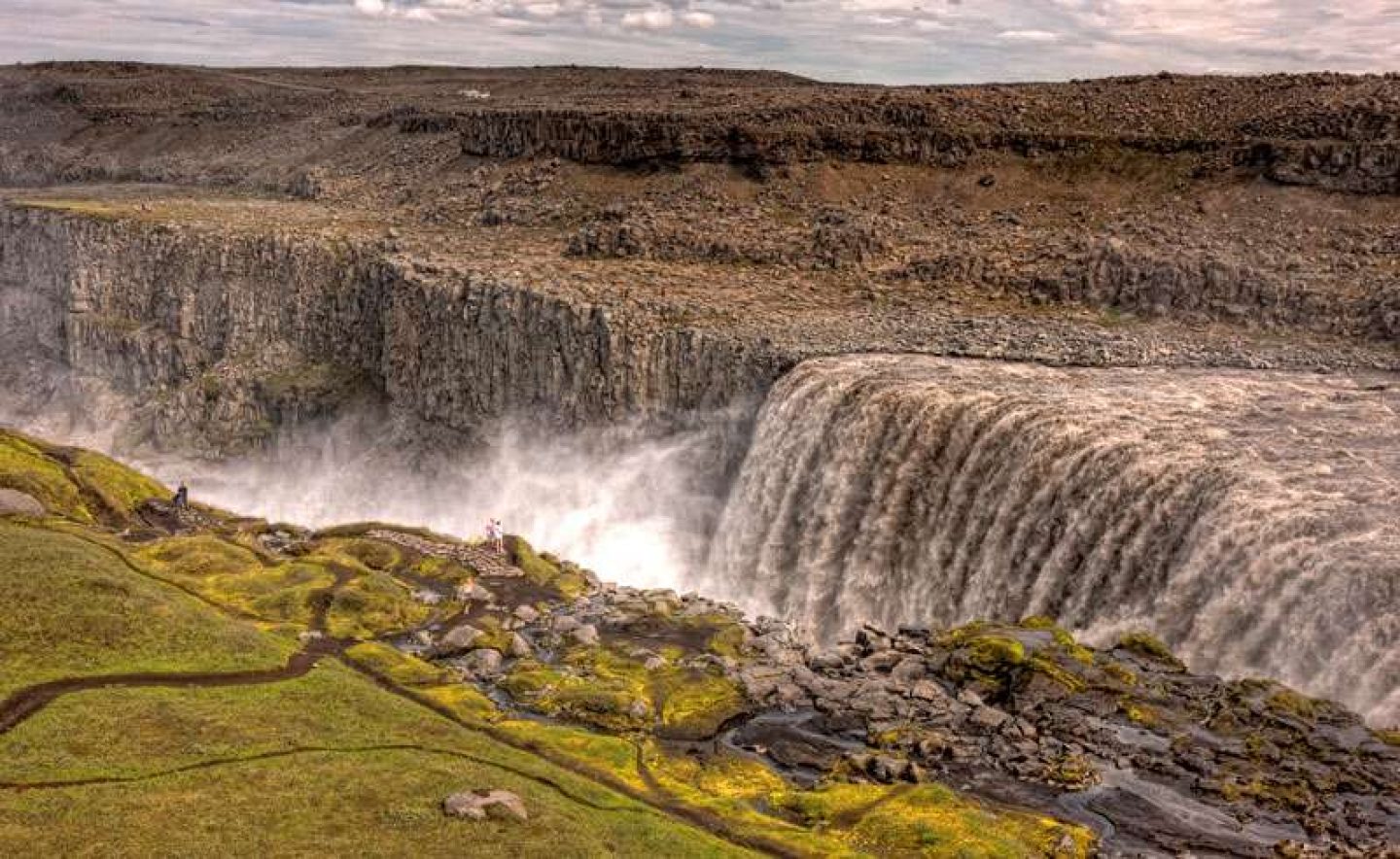
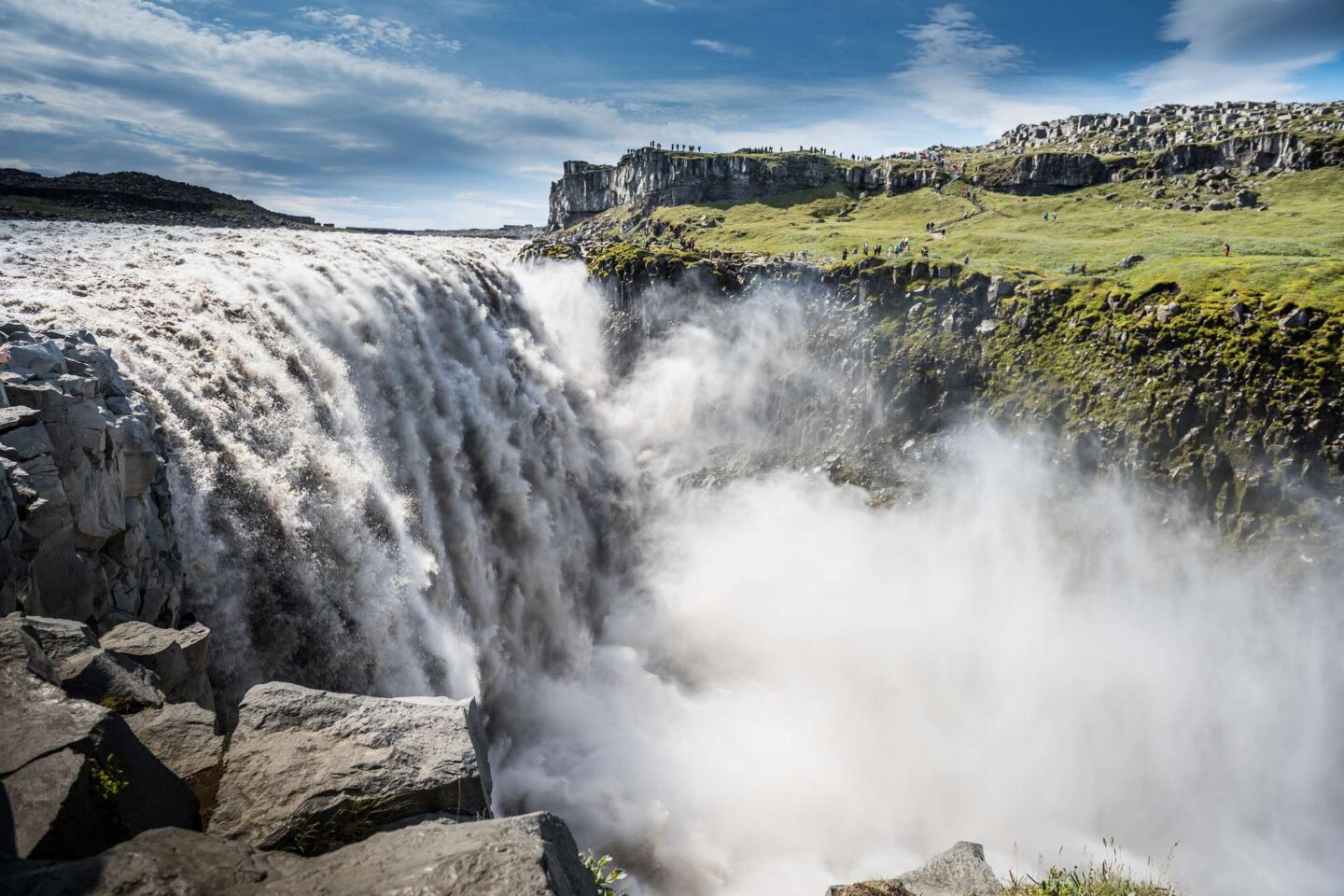
From the Mývatn area, it’s about 50km to reach Dettifoss. Iceland’s big show-off when it comes to waterfalls, Dettifoss roars and froths through a great canyon, its cappuccino-coloured cataract making the ground tremble beneath your feet. Formed thousands of years ago when a volcanic eruption under the Vatnajökull icecap unleashed a catastrophic flood, Europe’s most powerful waterfall hurls 200 cubic metres of volcanic silt-laden water 45m into the Jökulsá Canyon every second. Small wonder that Ridley Scott chose it as the dramatic opening scene for his sci-fi blockbuster Prometheus.
Getting to and from Dettifoss: Driving from Mývatn, you reach the west side of Dettifoss after turning off Highway 1 onto the 862. This is largely paved all the way to the car park. From here, you can not only walk to the brink of Dettifoss itself, but also head 1km upstream to Selfoss waterfall, or downstream to spectacular views into the canyon. Backtrack to Highway 1 and continue east for 10.5km and you reach the turn-off to the 864 – a gravel road that takes you 30km to the east bank of Dettifoss. Road 864 is closed during winter, and Road 862 may also be shut at this time due to snow.
Ásbyrgi
From the east side of Dettifoss, it’s another 30km drive north on the 864 and 85 to Ásbyrgi. Legend has it that this dramatic semi-circular canyon was formed by an errant hoof of Sleipnir, the horse of the Norse god Óðinn. Ásbyrgi’s 100m-high cliffs shelter a thick woodland of birch and willow trees – an unusual sight in Iceland – that is steeped in folktales about the ‘hidden people’ (the Huldufólk and elves). Trails weave through the woods to picnic spots and you can also hike to a small lake at the head of the canyon. Nearby attractions include the basalt columns and other bizarre rock formations of Hljóðaklettar and Hólmatungur in the neighbouring Jökulsárgljúfur canyon.
Tjörnes peninsula
From Ásbyrgi, the Diamond Circle sweeps you north onto the beautiful Tjörnes peninsula. Road 85 skirts the shoreline, providing views north towards the Arctic Ocean. During mid-summer you will be able to watch the midnight sun from this lofty latitude just south of the Arctic Circle. Fossil hunters, meanwhile, will have their heads down, scanning the rocks for fossil shells. Puffins and other seabirds nest on cliffs along the eastern side of the peninsula. At Hringsbjarg there is an observation deck perched on 60m-tall cliffs.
Húsavík
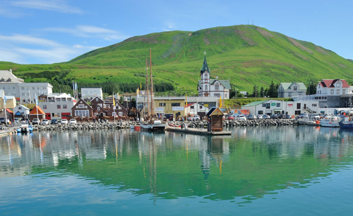
Continue along Road 85 down the western side of the Tjörnes peninsula and you will arrive in the port of Húsavík. Down at the harbour, a small fleet of lovingly-restored, oak-hulled herring trawlers and a traditional sailing schooner have found a new lease of life as whale-watching boats in Skjálfandi Bay. Minke and humpback whales, harbour porpoises and leaping schools of white-beaked dolphins are frequently seen, while close encounters with blue whales, particularly during early summer, are not unheard of. Peak season for whale watching is April-September when you stand an excellent chance of witnessing the acrobatic antics of humpback whales. The two islands in the bay, Lundey and Flatey, are home to thousands of nesting puffins, Arctic terns and guillemots. Whale watching is the big lure for travellers to Húsavík, but this attractive port also has plenty to offer landlubbers – from excellent seafood restaurants to museums covering everything from cetaceans to space exploration. Húsavík also lures movie fans… Eurovision Song Contest: The Story of Fire and Saga is based on two local characters (Lars Ericksson and Sigrit Ericksdottir) played by Will Ferrell and Rachel McAdams.
From Húsavík, it’s roughly 50km to Goðafoss, completing the Diamond Circle. On this final stretch, you can easily arrange to go horse riding or stay at a farm.
Feeling Inspired?
If you have any questions about the Diamond Circle or want to start planning your own trip to Iceland, call us on 01737 214 250 or you can email our travel specialists to start discussing your options.



 Instagram
 Facebook
 YouTube